- All
- Al Ahsa
- Al Baha
- Al Jawf
- Al Qassim
- Al Taif
- Asir
- Central Sector
- Eastern Region
- Hail
- Jazan
- Jeddah
- Jubail
- Kingdom of Saudi Arabia
- Madinah Munawwarah
- Makkah & Holy Places
- Najran
- Northern Sector
- Riyadh
- Southern Sector
- Tabuk
- Western Sector
- World Map
- Yanbu
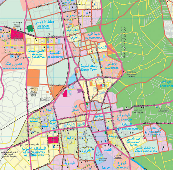
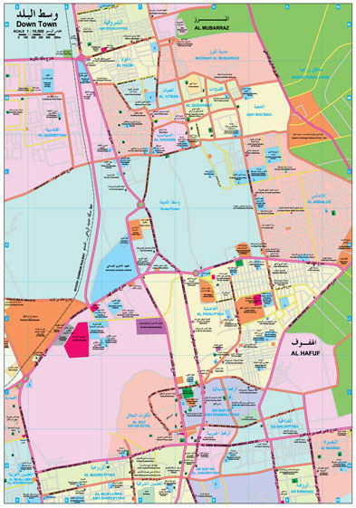
 Al Ahsa Map
Al Ahsa
Al Ahsa Map
Al Ahsa

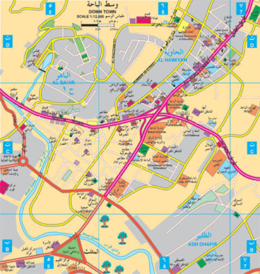 Al Baha Map
Al Baha
Al Baha Map
Al Baha
 Al Jawf Map
Al Jawf
Al Qassim Map
Al Qassim
Al Taif Map
Al Taif
Asir Map
Asir
Central Sector Map
Central Sector
Eastern Region Map
Eastern Region
Hail Map
Hail
Jazan Map
Jazan
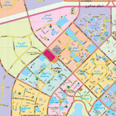
Jeddah Map
Jeddah
Jubail Map
Jubail
Kingdom of Saudi Arabia Map
Kingdom of Saudi Arabia
Al Jawf Map
Al Jawf
Al Qassim Map
Al Qassim
Al Taif Map
Al Taif
Asir Map
Asir
Central Sector Map
Central Sector
Eastern Region Map
Eastern Region
Hail Map
Hail
Jazan Map
Jazan
Jeddah Map
Jeddah
Jubail Map
Jubail
Kingdom of Saudi Arabia Map
Kingdom of Saudi Arabia
 Madinah Munawwarah Map
Madinah Munawwarah
Madinah Munawwarah Map
Madinah Munawwarah
 Makkah & Holy Places Map
Makkah & Holy Places
Najran Map
Najran
Northern Sector Map
Northern Sector
Riyadh Map
Riyadh
Southern Sector Map
Southern Sector
Tabuk Map
Tabuk
Western Sector Map
Western Sector
World Map
World Map
Yanbu Map
Yanbu
Makkah & Holy Places Map
Makkah & Holy Places
Najran Map
Najran
Northern Sector Map
Northern Sector
Riyadh Map
Riyadh
Southern Sector Map
Southern Sector
Tabuk Map
Tabuk
Western Sector Map
Western Sector
World Map
World Map
Yanbu Map
Yanbu